Seabed Mapping in Norway’s Largest Lake
This autumn, Norwegian University of Science and Technology (NTNU) carried out a pilot project for advanced seabed mapping in Lake Mjøsa, an operation that required high precision, a complex mobilisation setup, and reliable sensor technology. For this pilot, NTNU rented a NORBIT WINGHEAD i80S multibeam sonar, including the integrated INS and all necessary software, from NOR Offshore Rental.
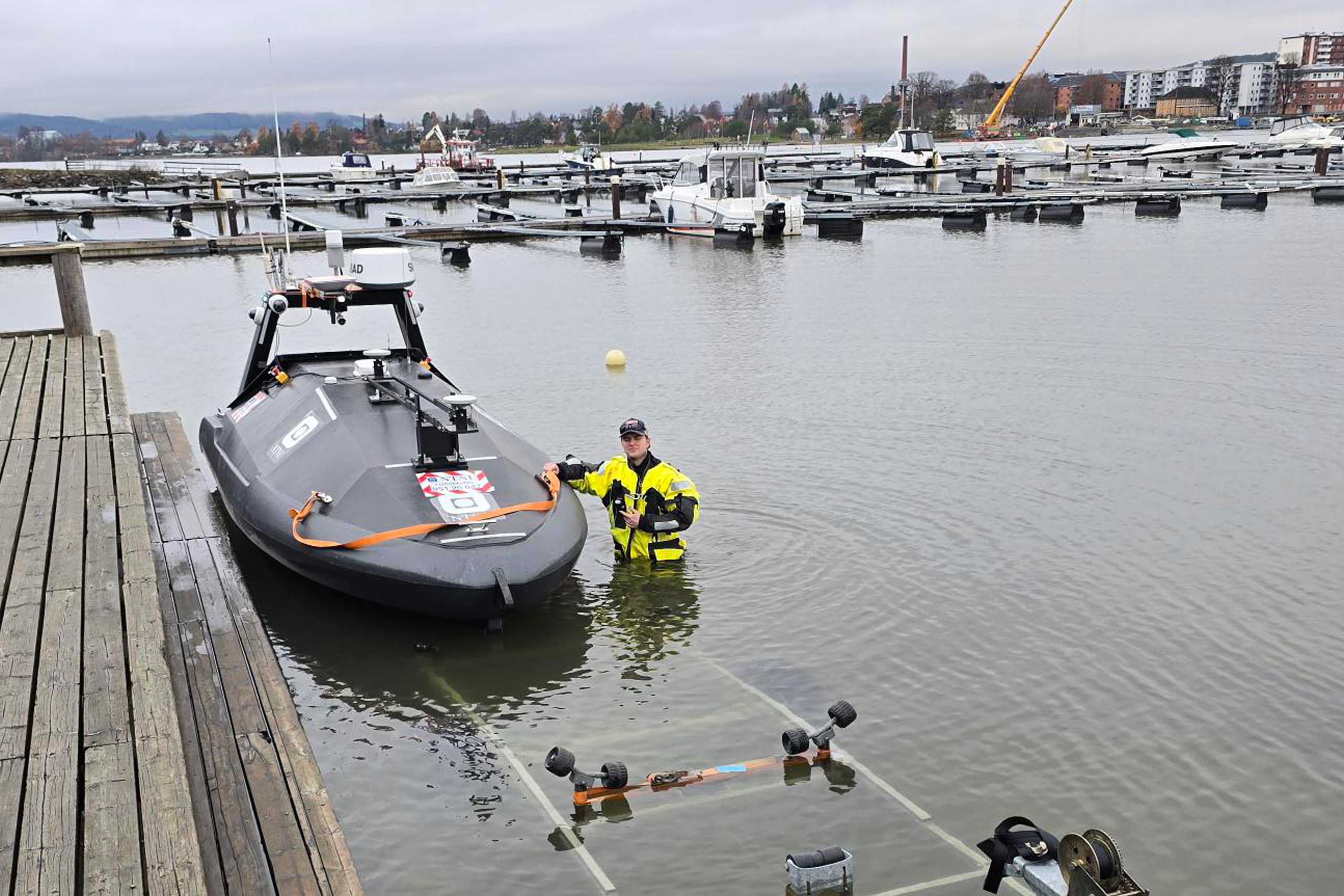
The pilot phase covered a total of 25 km² of seabed outside Gjøvik and Hamar, using the autonomous surface vessel USV Grethe under the direction of NTNU’s Department of Marine Technology, AUR-Lab.
Although Mjøsa is Norway’s largest lake, much of the existing seabed information is old, fragmented or incomplete. The depth data that exists today is largely based on earlier measurement methods and does not provide the level of detail required for modern use.
The lack of modern, high-resolution seabed data makes it challenging to conduct safe and precise marine operations. Without reliable depth information, planning, navigation and risk assessment become difficult. Updated data is also essential for environmental mapping, research and emergency preparedness.
The NORBIT WINGHEAD i80S delivered consistently stable results throughout the operation, despite challenging mobilisation conditions and highly variable depth profiles in the lake.
“In a technically demanding setup onboard USV Grethe, the NORBIT WINGHEAD i80S multibeam echosounder provided stable performance from start to finish, with excellent data across the full depth range. The fully integrated INS and built-in NTRIP client enabled very rapid mobilisation and verification,”
— Christian Malmquist, NTNU AUR-Lab / Kartverket
Key features
Working closely with Norwegian University of Science and Technology’s engineering and field teams, and with technical support from the Norbit service team, the system was quickly installed and prepared for data collection.
The mobilisation included:
The entire process, from receiving the equipment to becoming fully operational in the field, was completed in just a few days.
NTNU’s field team highlights the quality of the delivery:
“We would like to highlight the good service, fast delivery of equipment and software, and clear agreements provided by NOR Offshore Rental during the mobilisation, data acquisition and demobilisation phases,”
— Martin Bredesen, Field Engineer, NTNU
Following the successful pilot, Norwegian University of Science and Technology has now been commissioned to map the entirety of Lake Mjøsa. The work will continue over the next 2–3 years and will include full mapping of the lake’s depth and topography.
NOR Offshore Rental is honored to support NTNU AUR-Lab and Kartverket in a project of national importance. With reliable equipment, fast response times and solid technical expertise, we help enable safe and efficient operations both in Norway and internationally.